
Historic Settlements
Loyalist Township is situated on the ancestral lands of the Haudenosaunee, Michi Saagiig, and Omámíwinini Peoples, where life, communities, and economies flourished long before the arrival of settlers. The information presented is not meant to erase or disregard the presence, impact, and experiences of Indigenous communities already living in the area. This webpage presents the history and timelines of colonial settlement, but this is just one piece of the historical narrative ongoing at that time.
This project stems from the 2024-2027 Strategic Plan, Objective 1.2: Promote Loyalist identity while recognizing contribution of heritage and traditions from each community.
Council directed staff to develop a plan to identify signage and recognize historic settlement areas as per Strategic Objective 1.2.4.
Staff conducted extensive research, including visits to the Lennox & Addington Archives and consultation with local community knowledge holders, to determine the historical context of both the Township and its historic settlement areas.
This webpage is a presentation of the research and findings behind the signs.

Important Dates
According to sources, most lots were drawn and occupied in 1784, yet the Crown deeds range from 1797 – 1844. These delays were caused as the grants were not issued until a certain percentage of the lots were cleared in preparation for agriculture. Settlers were given a deadline to clear the required percentage of land and pay for the Deed; many settlers waited until the end of that period to save the needed money.
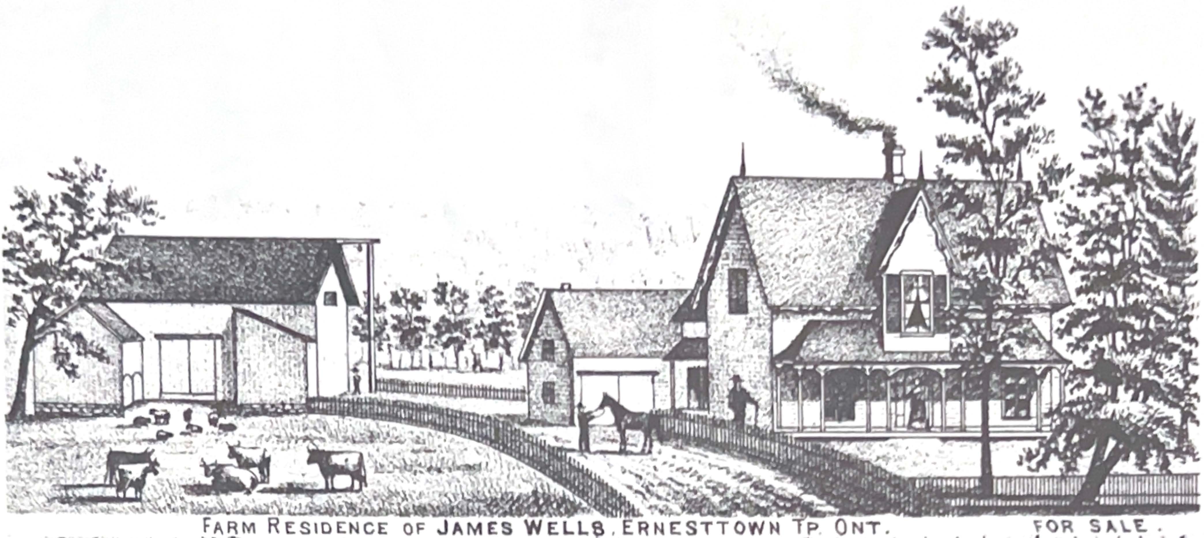
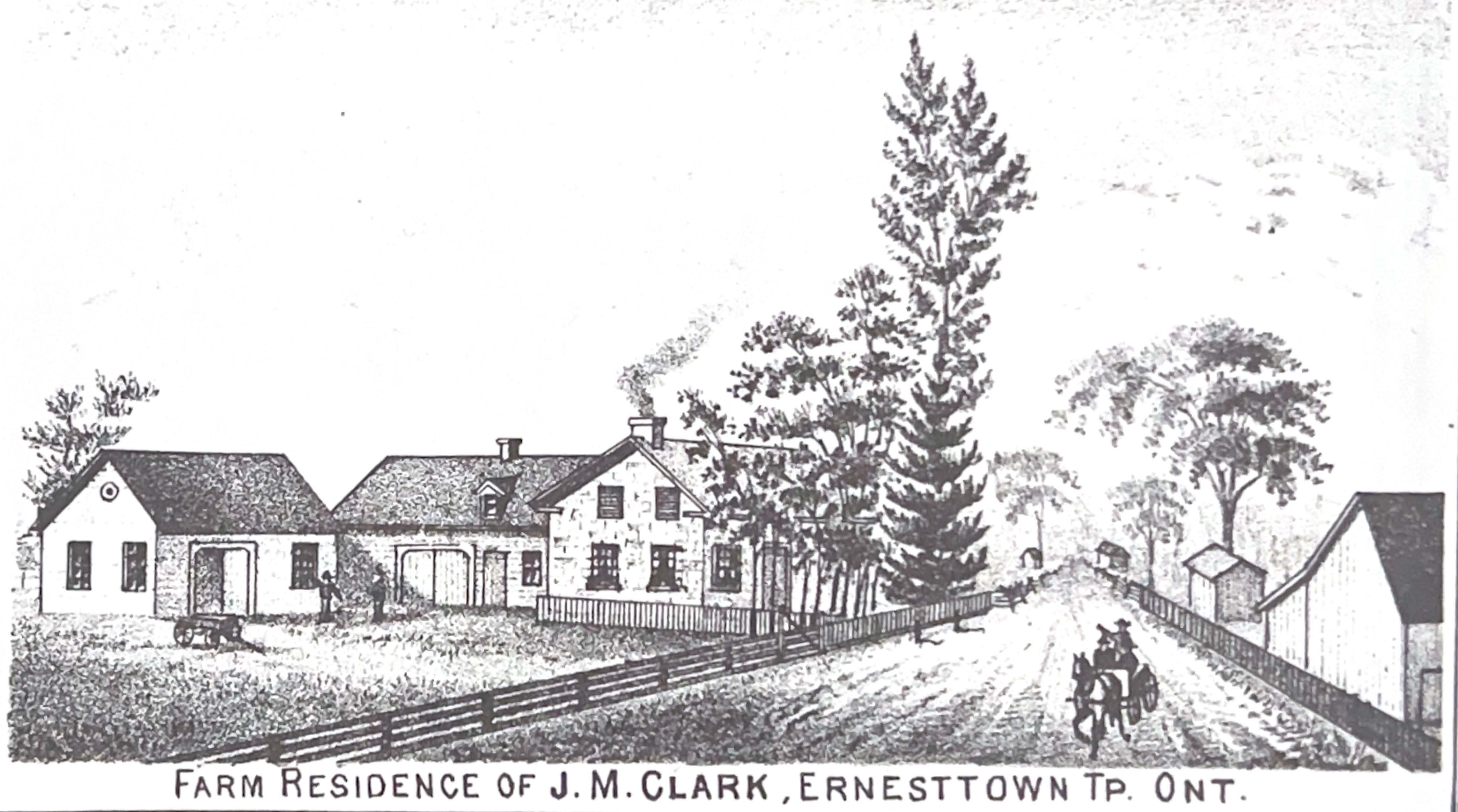
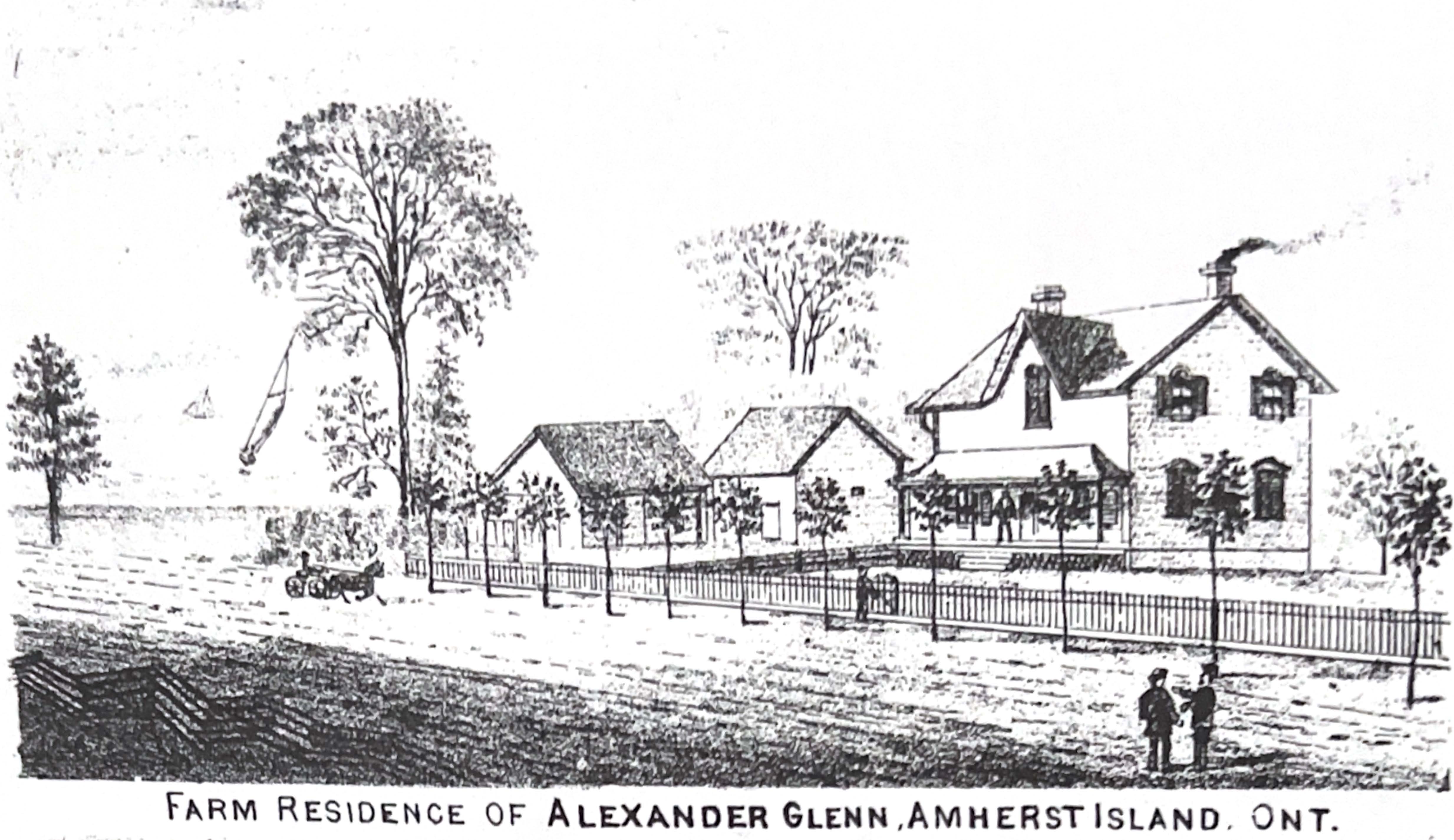
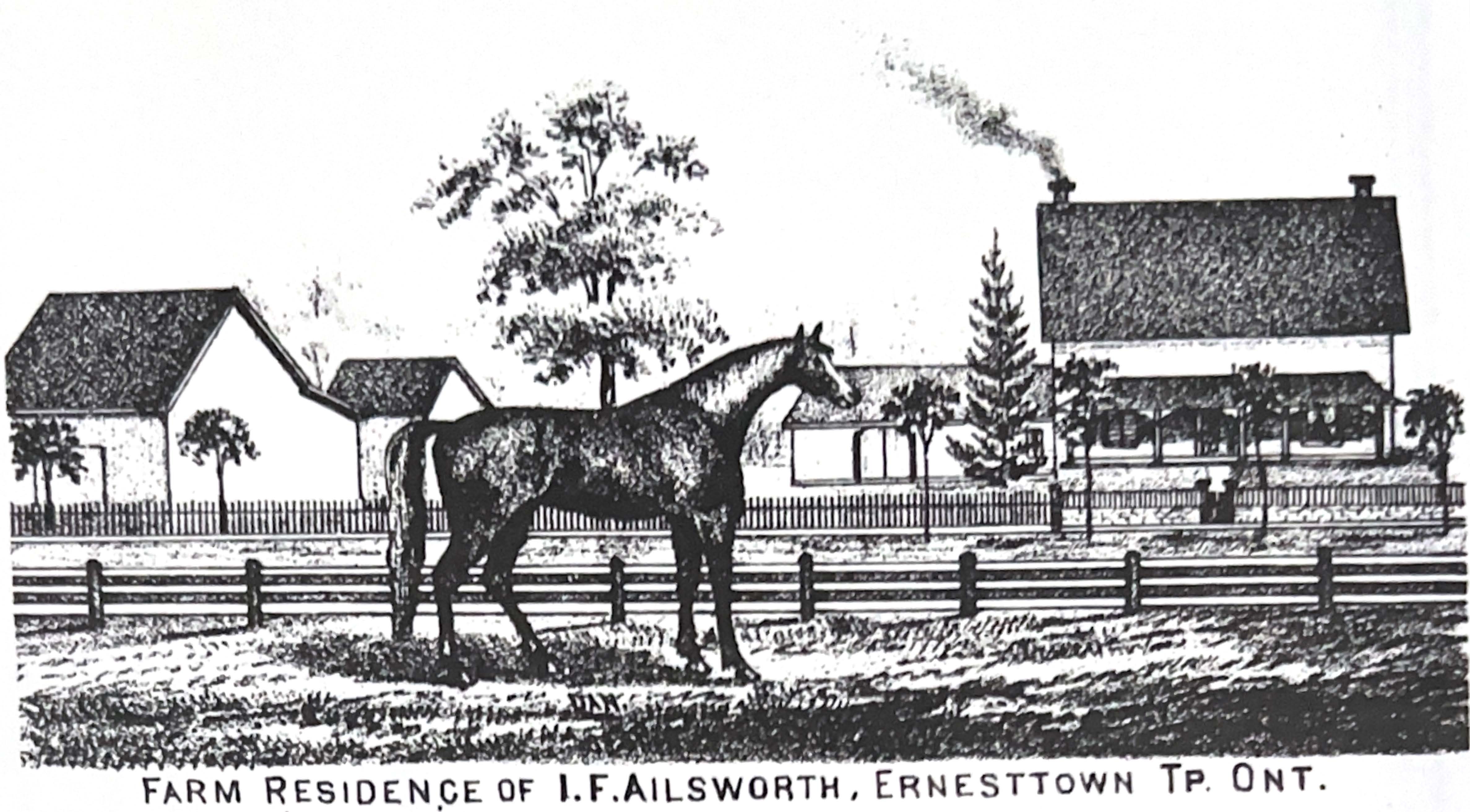
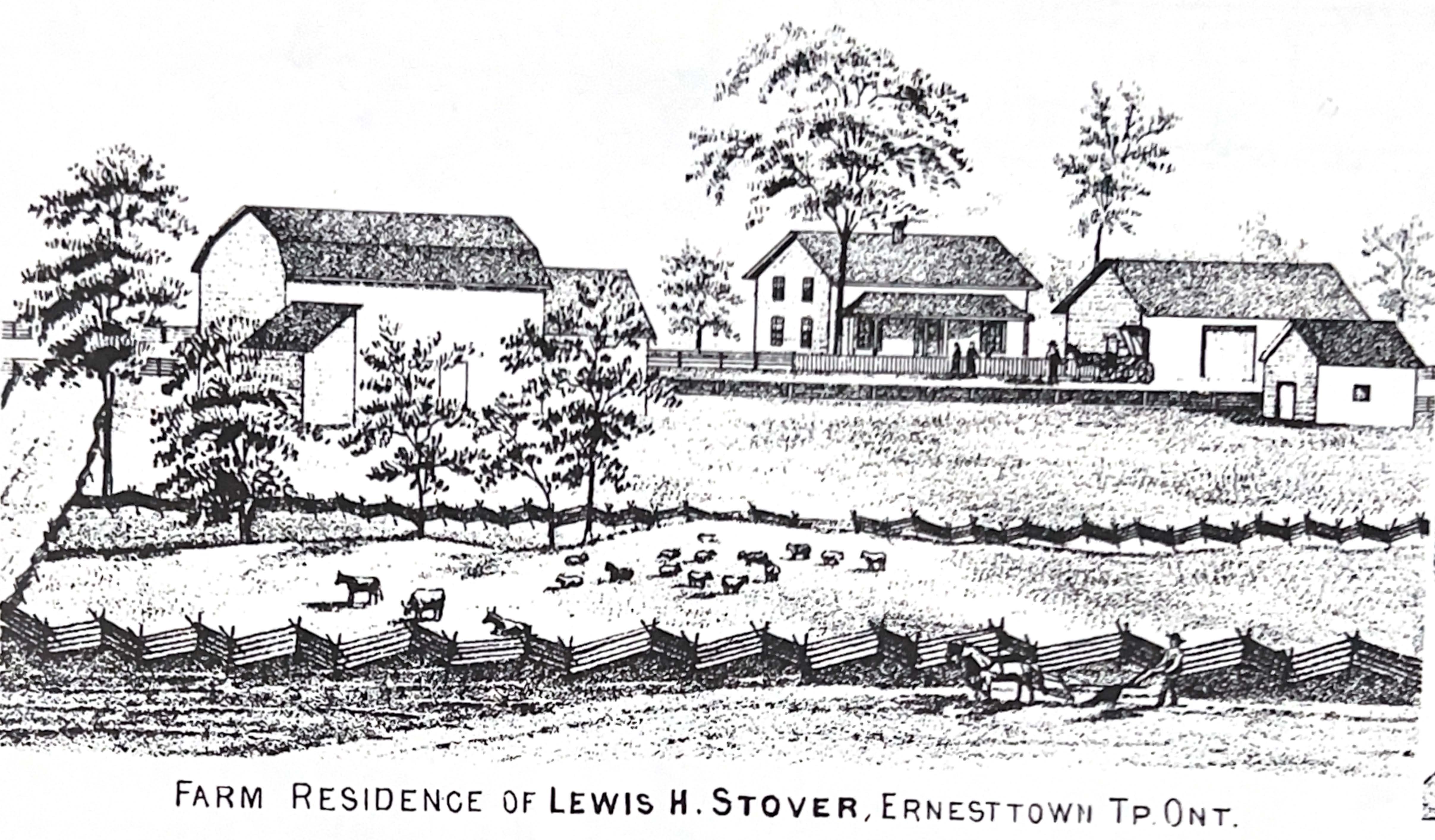
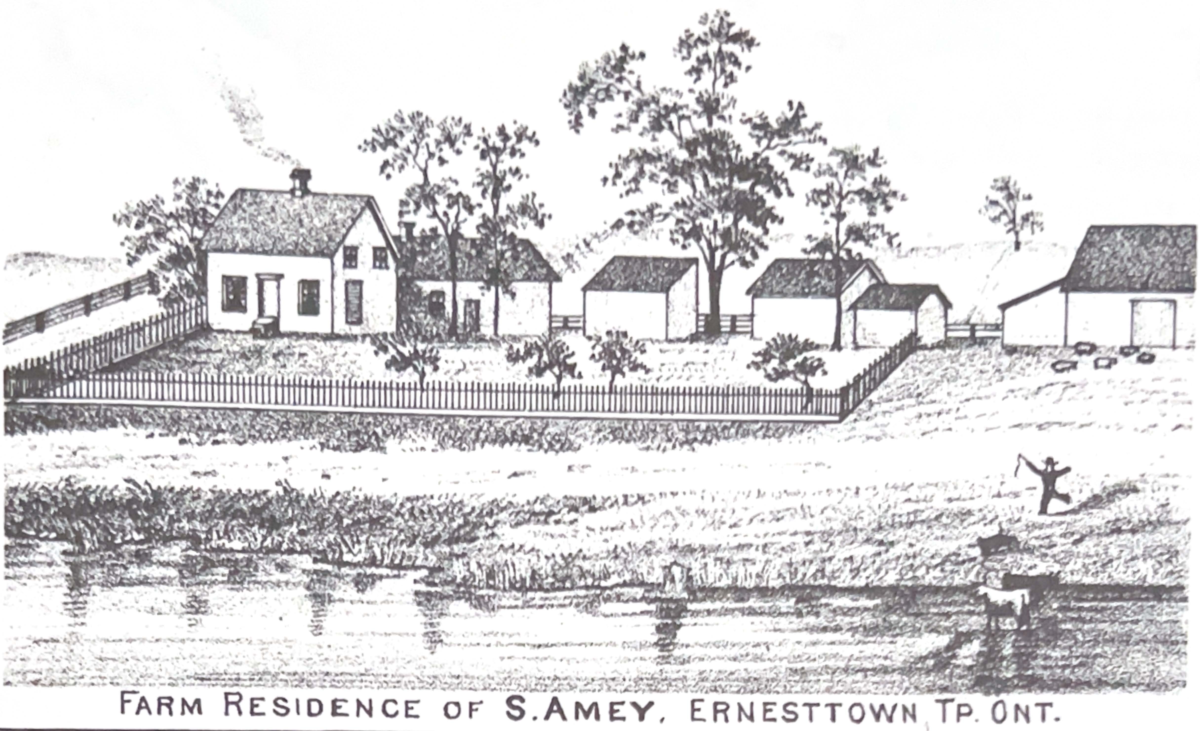
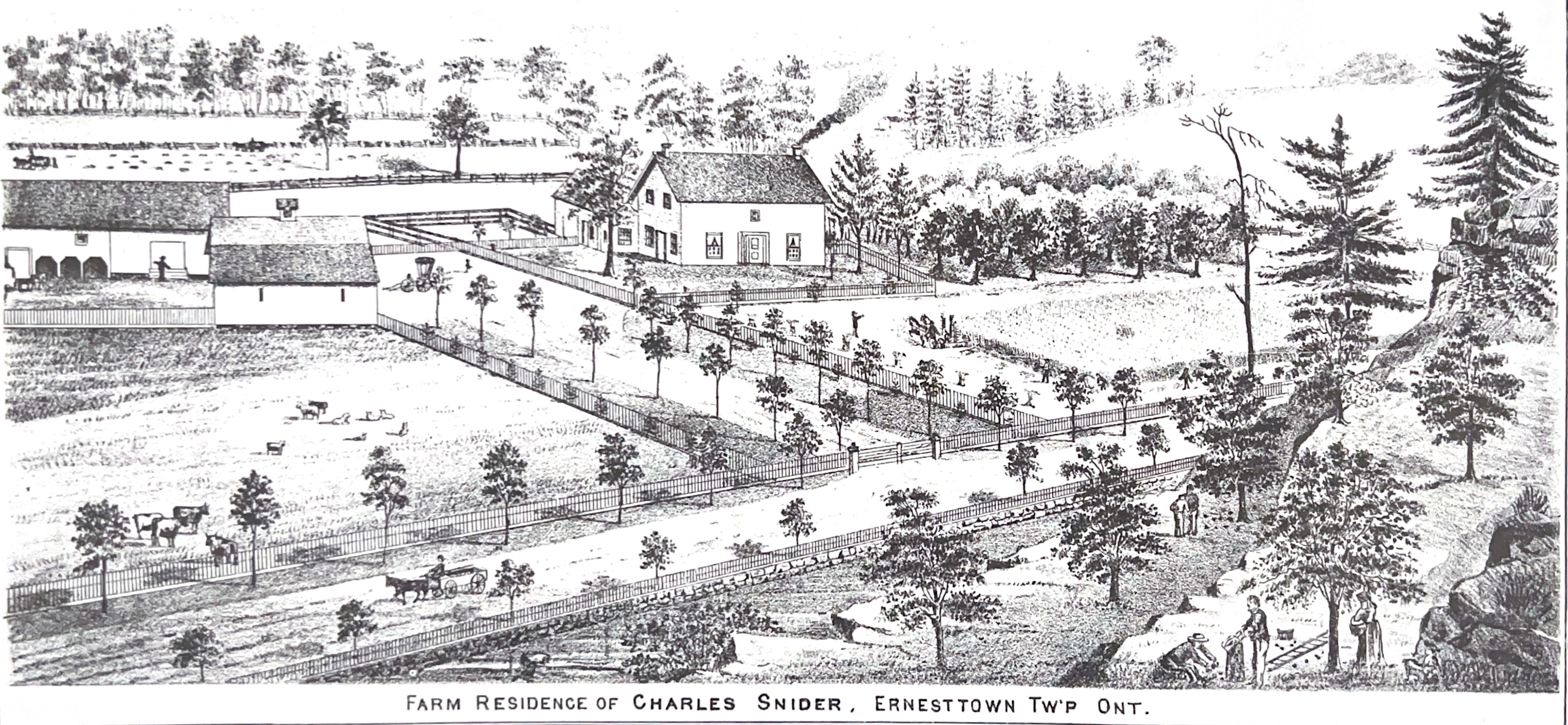
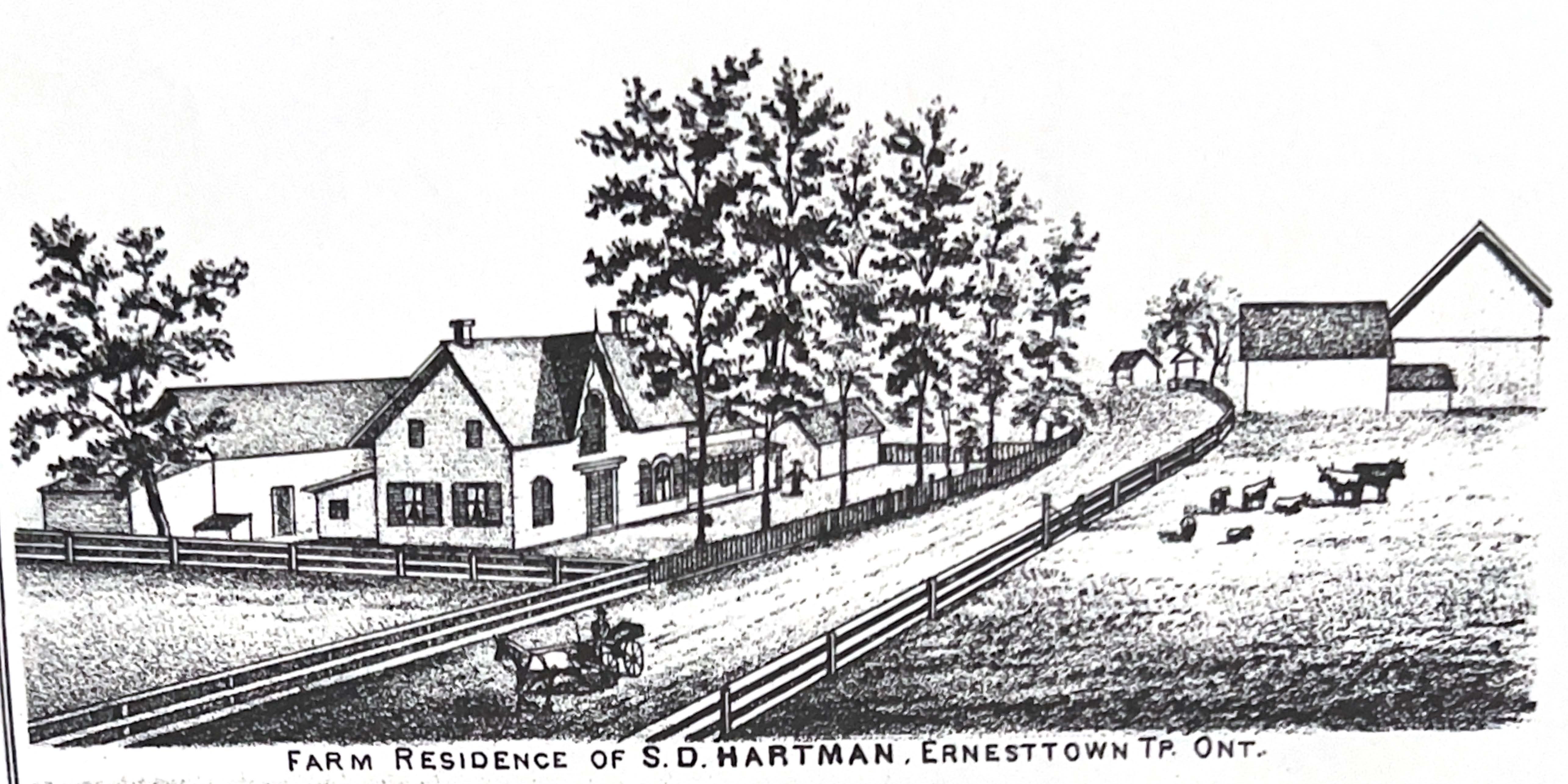
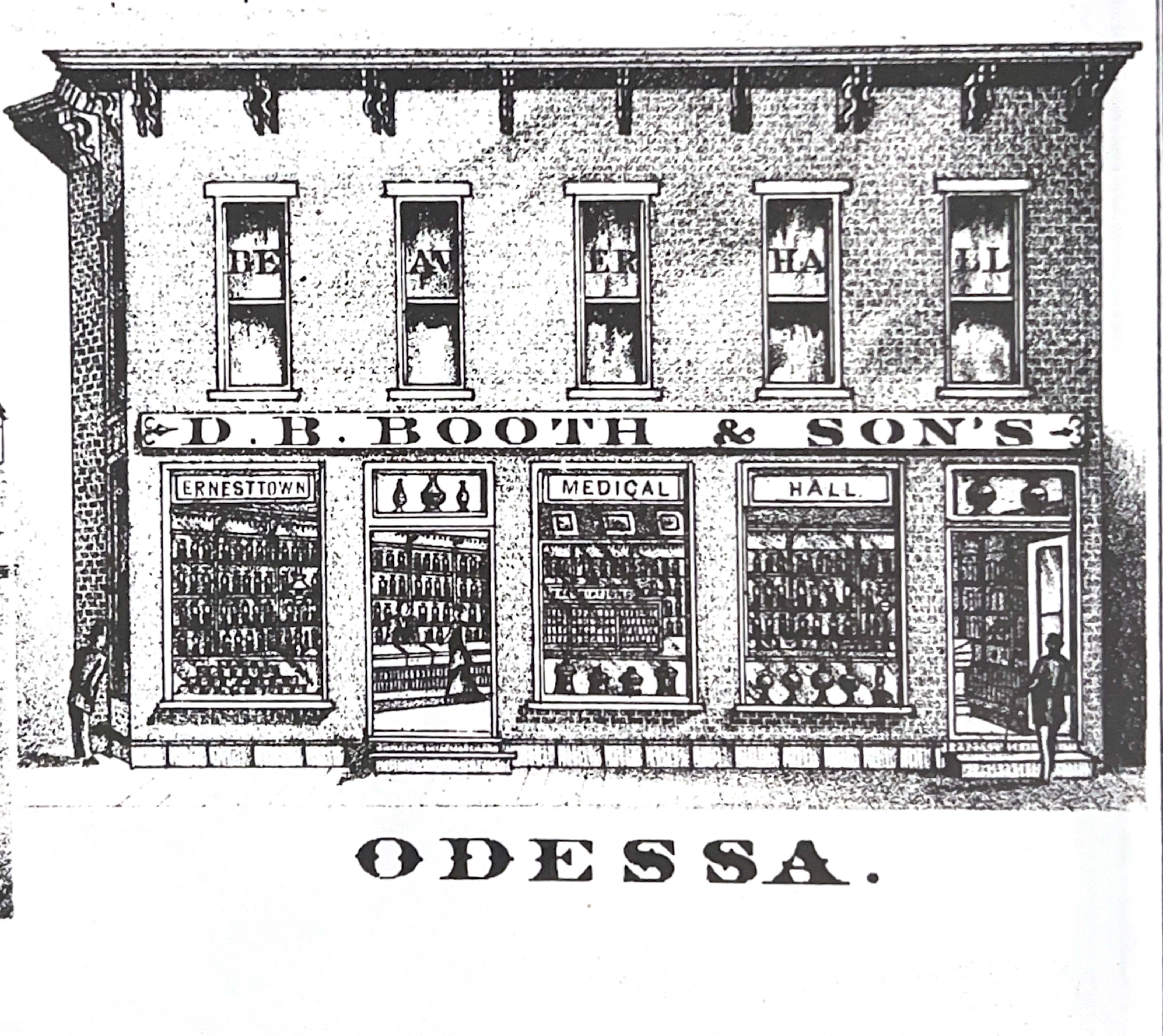
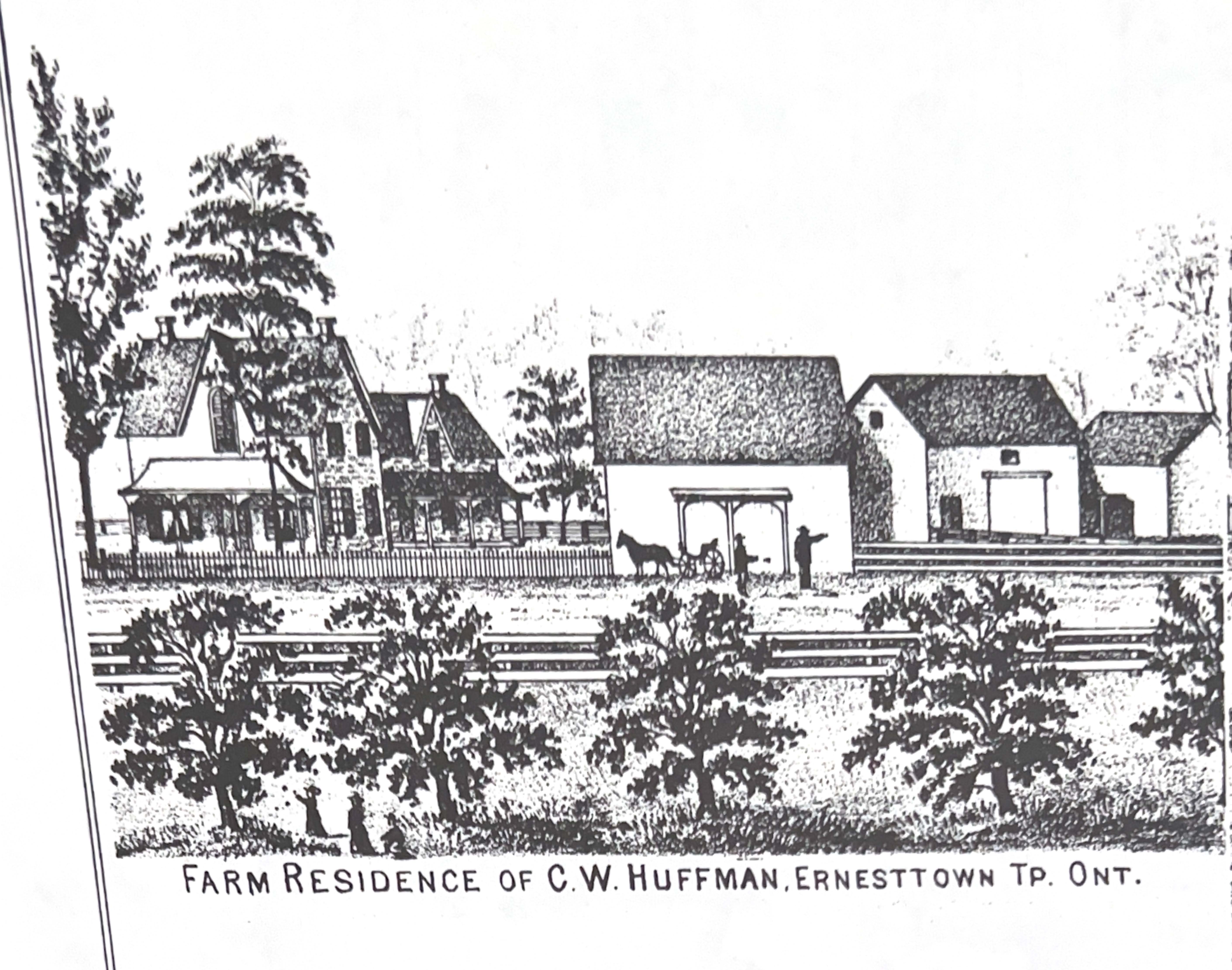
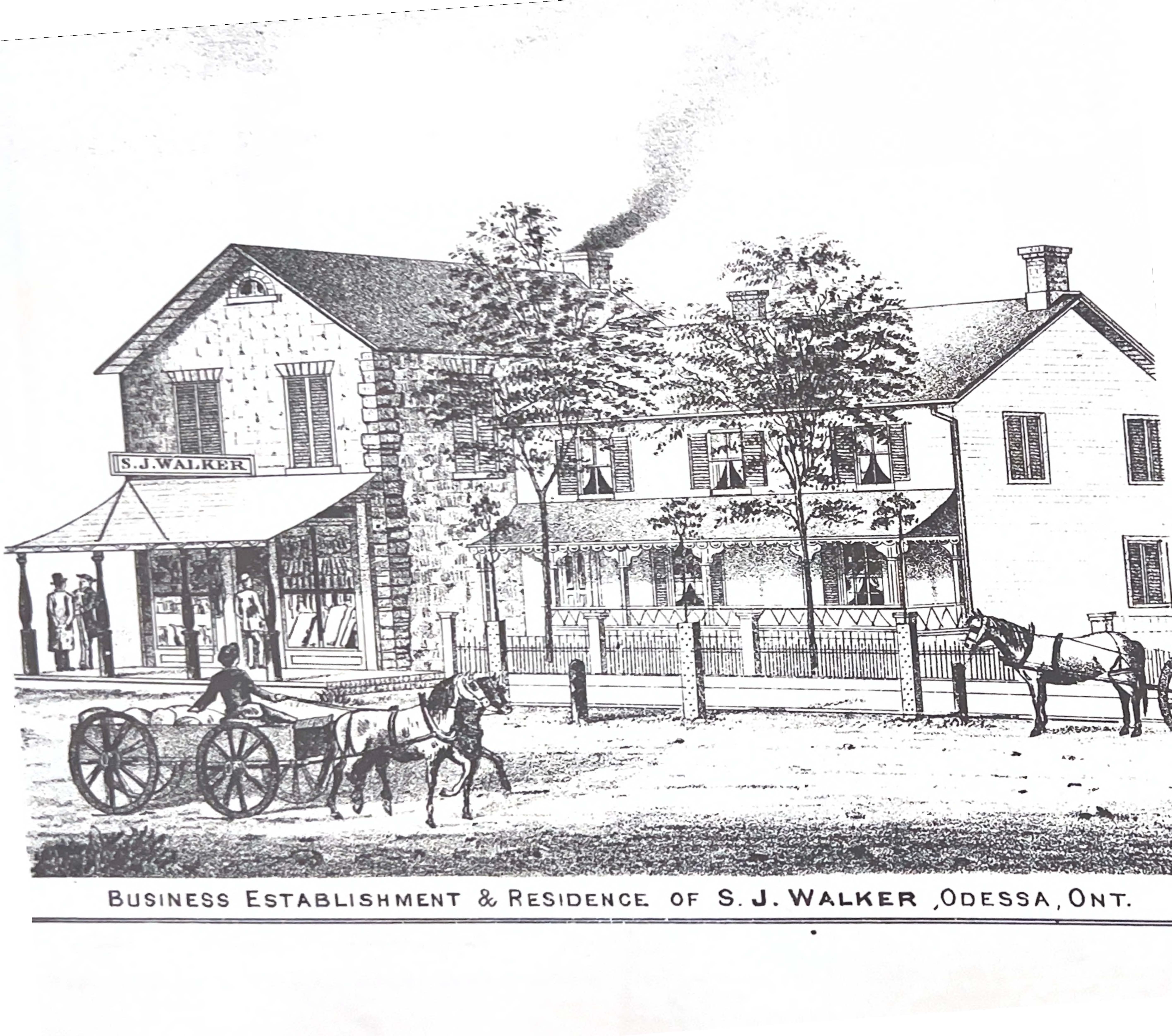
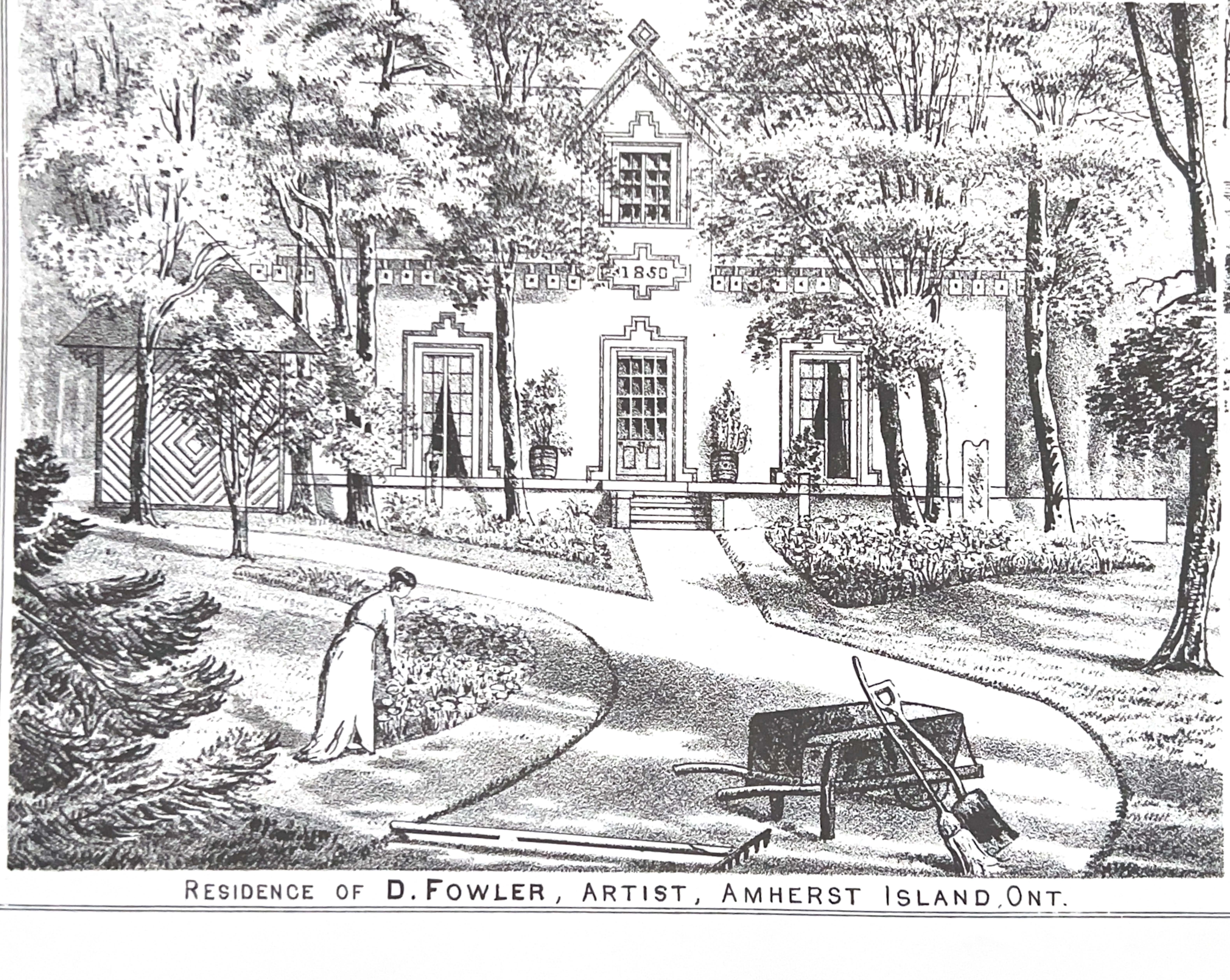
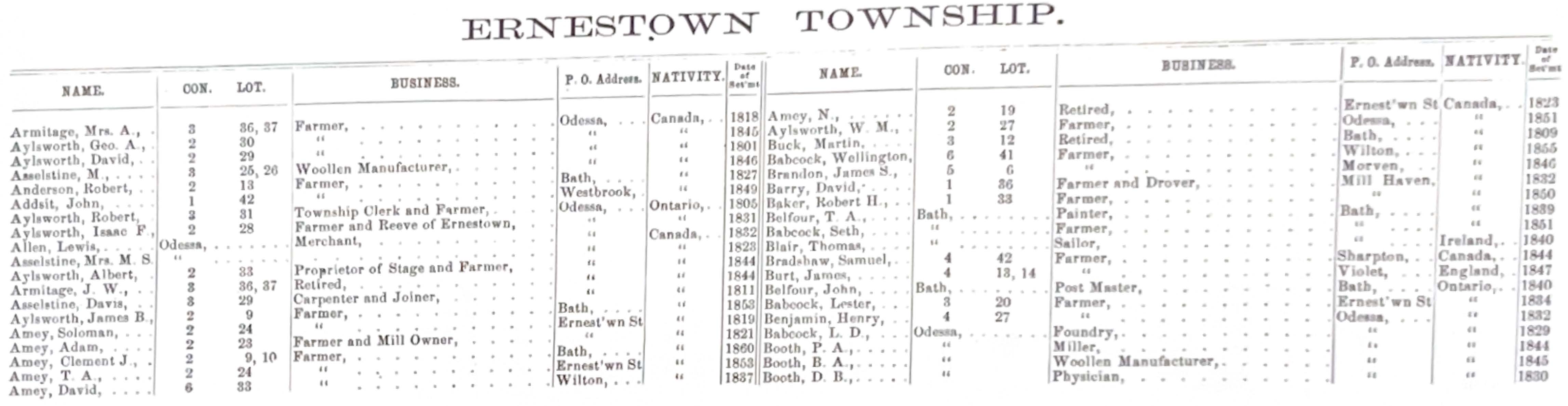
Illustrations and excerpts
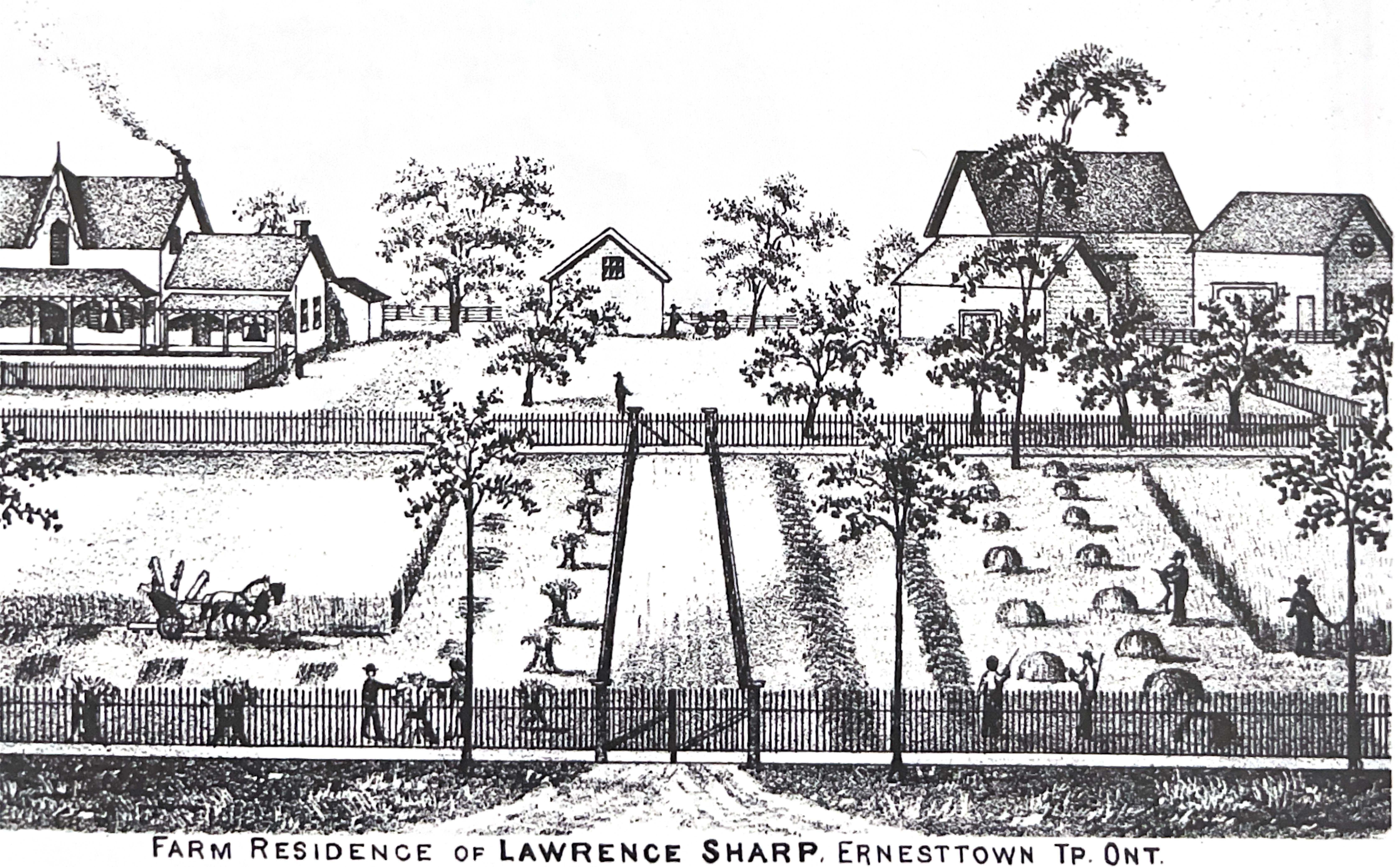
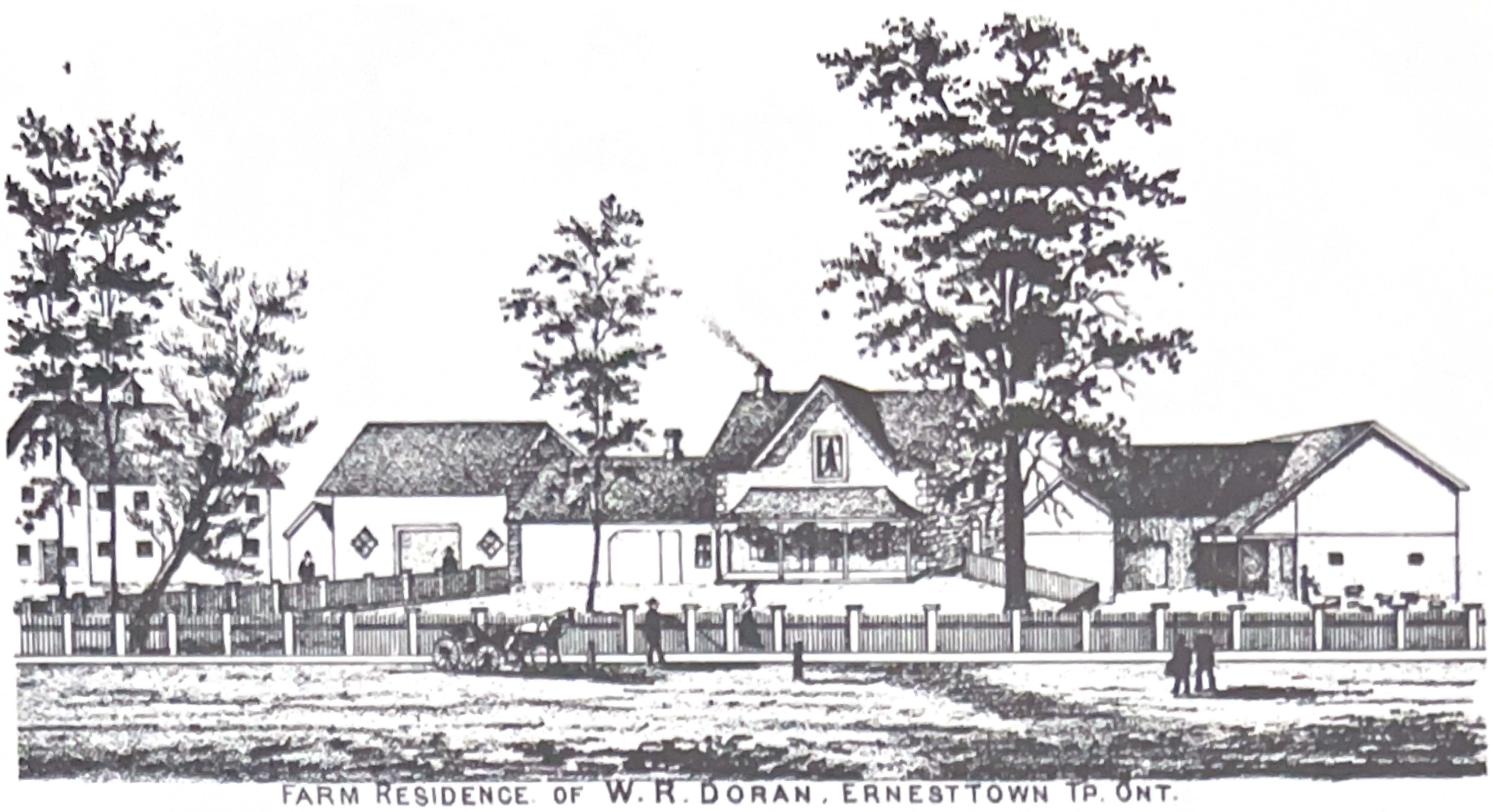
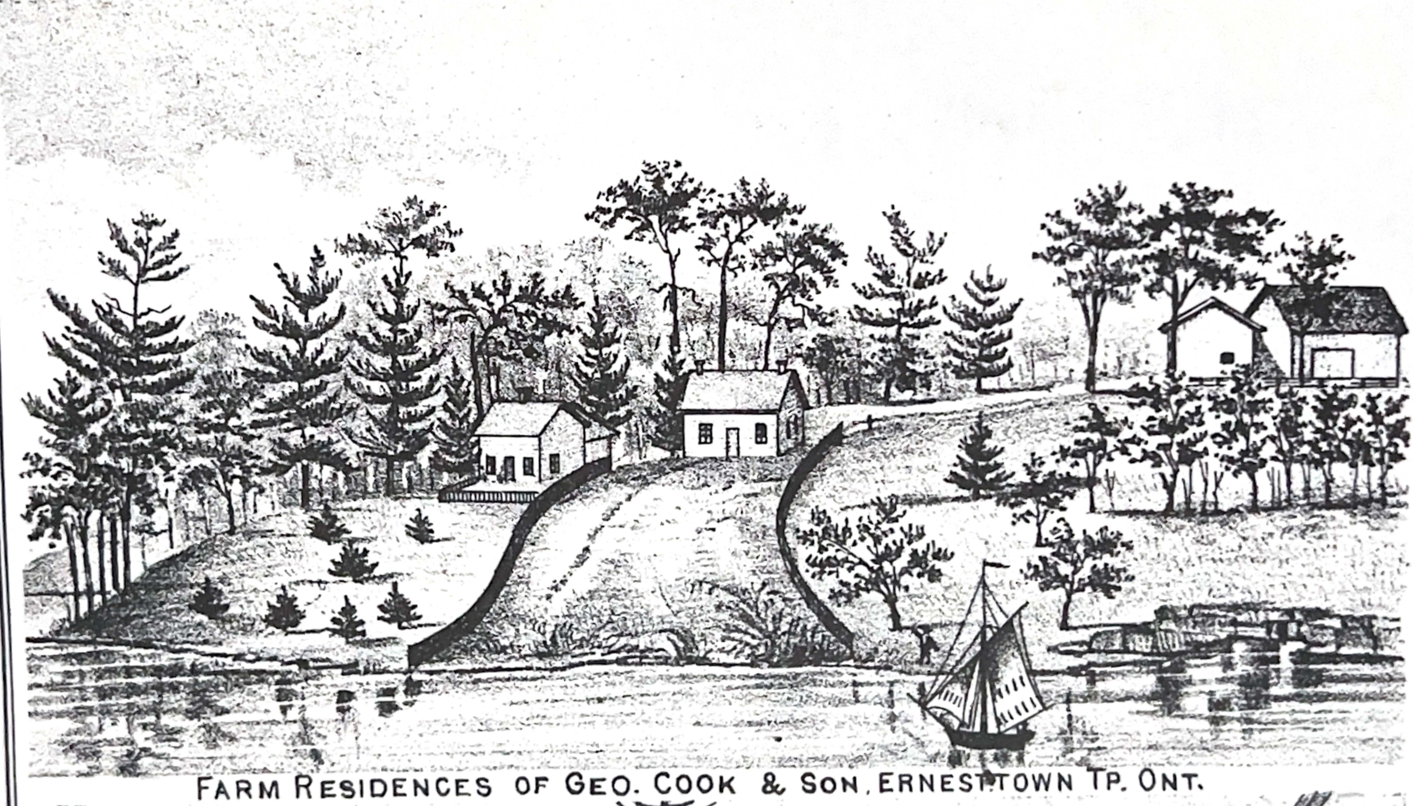
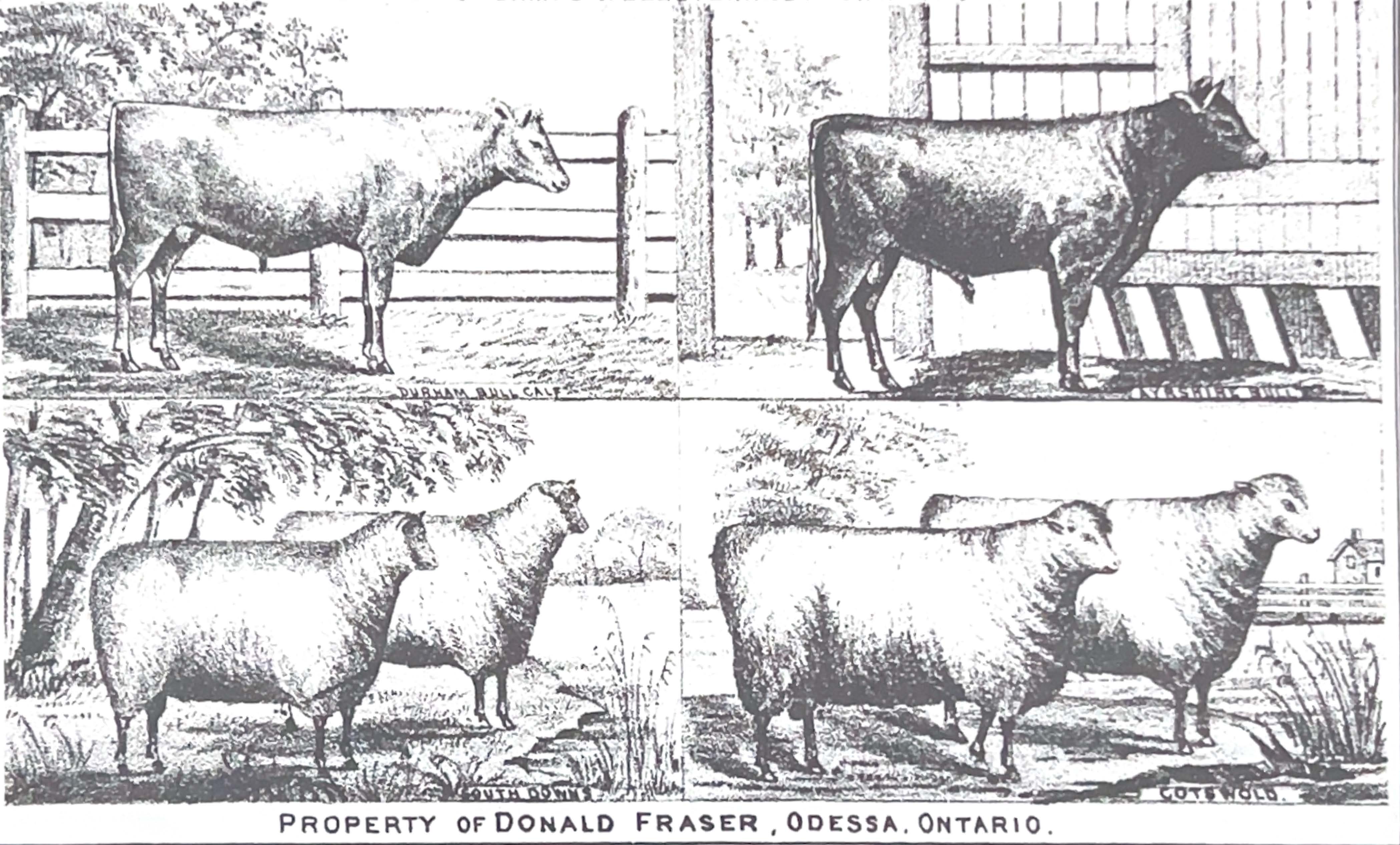
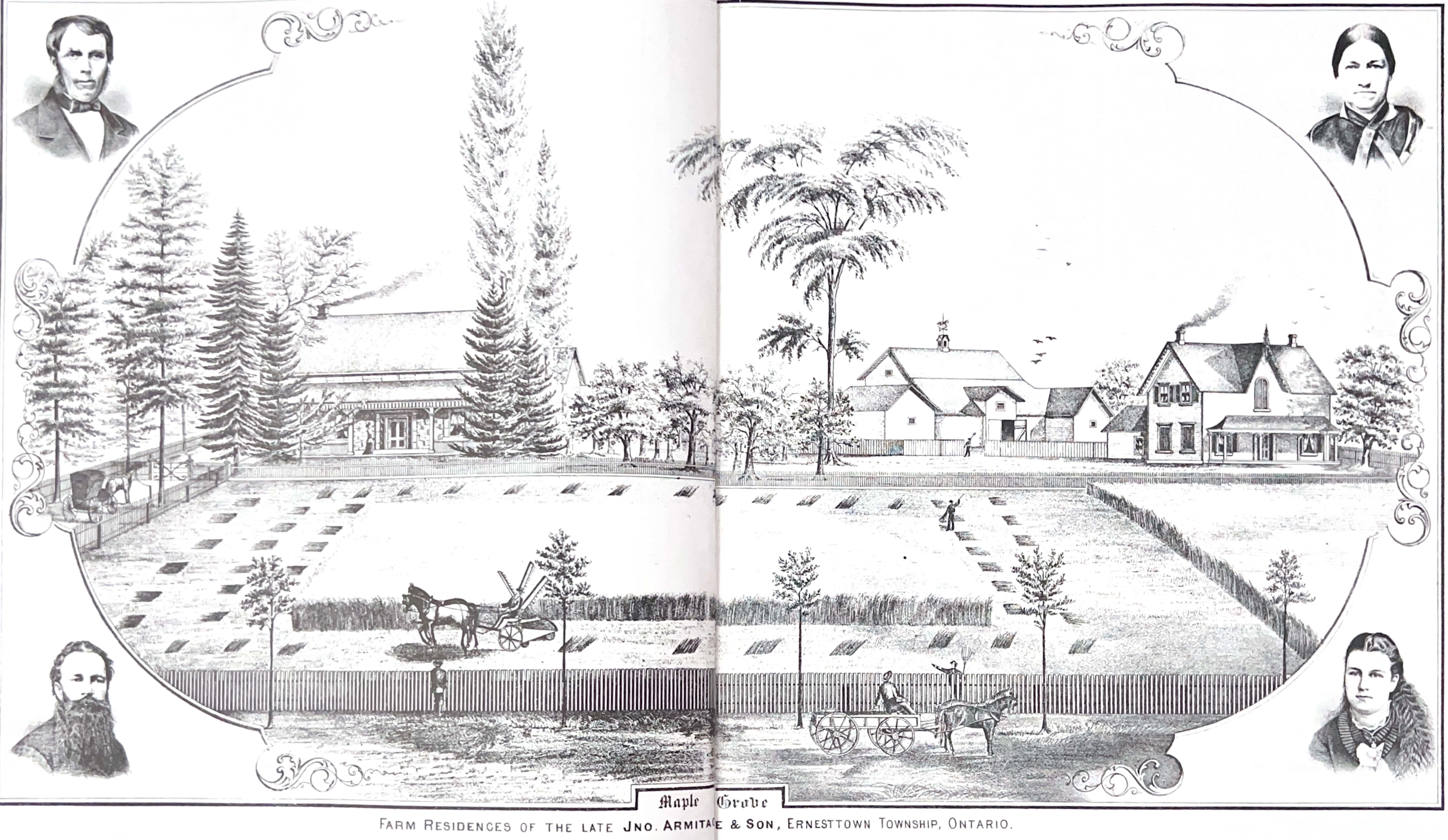
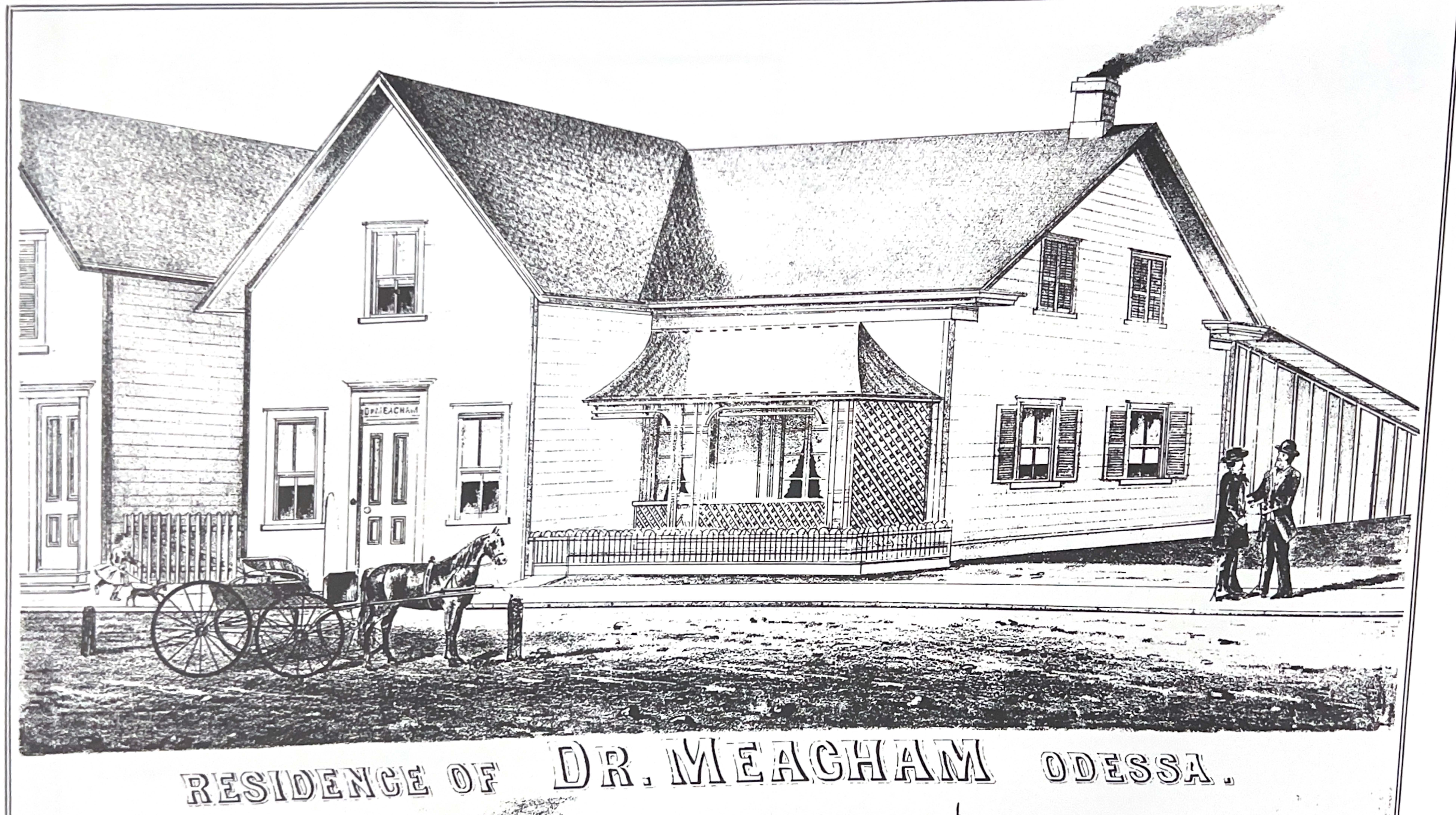
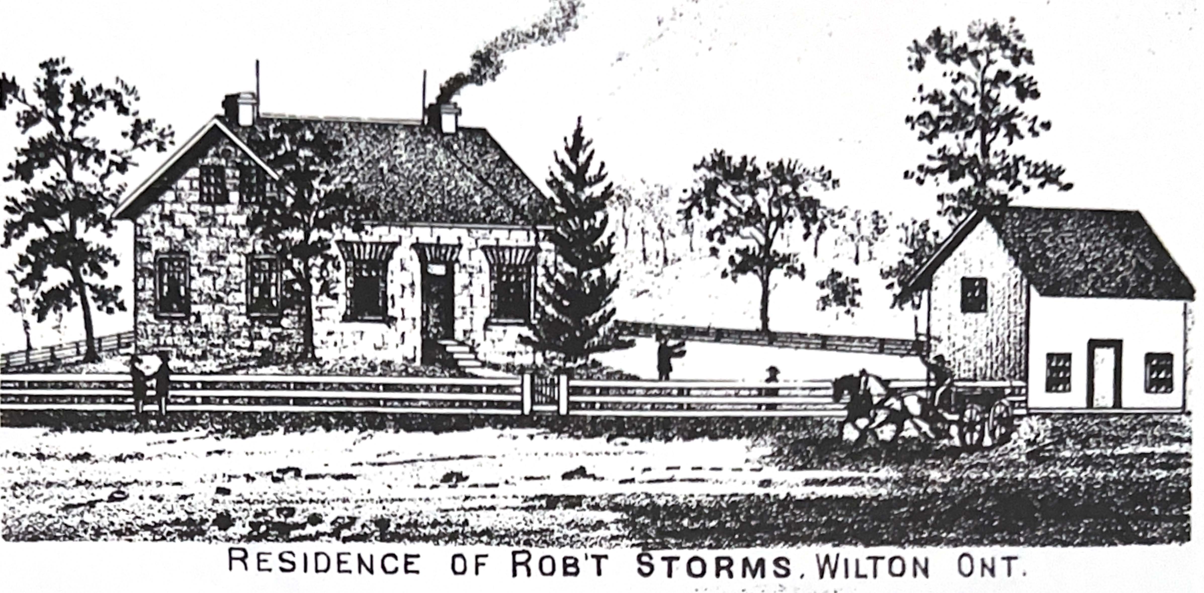
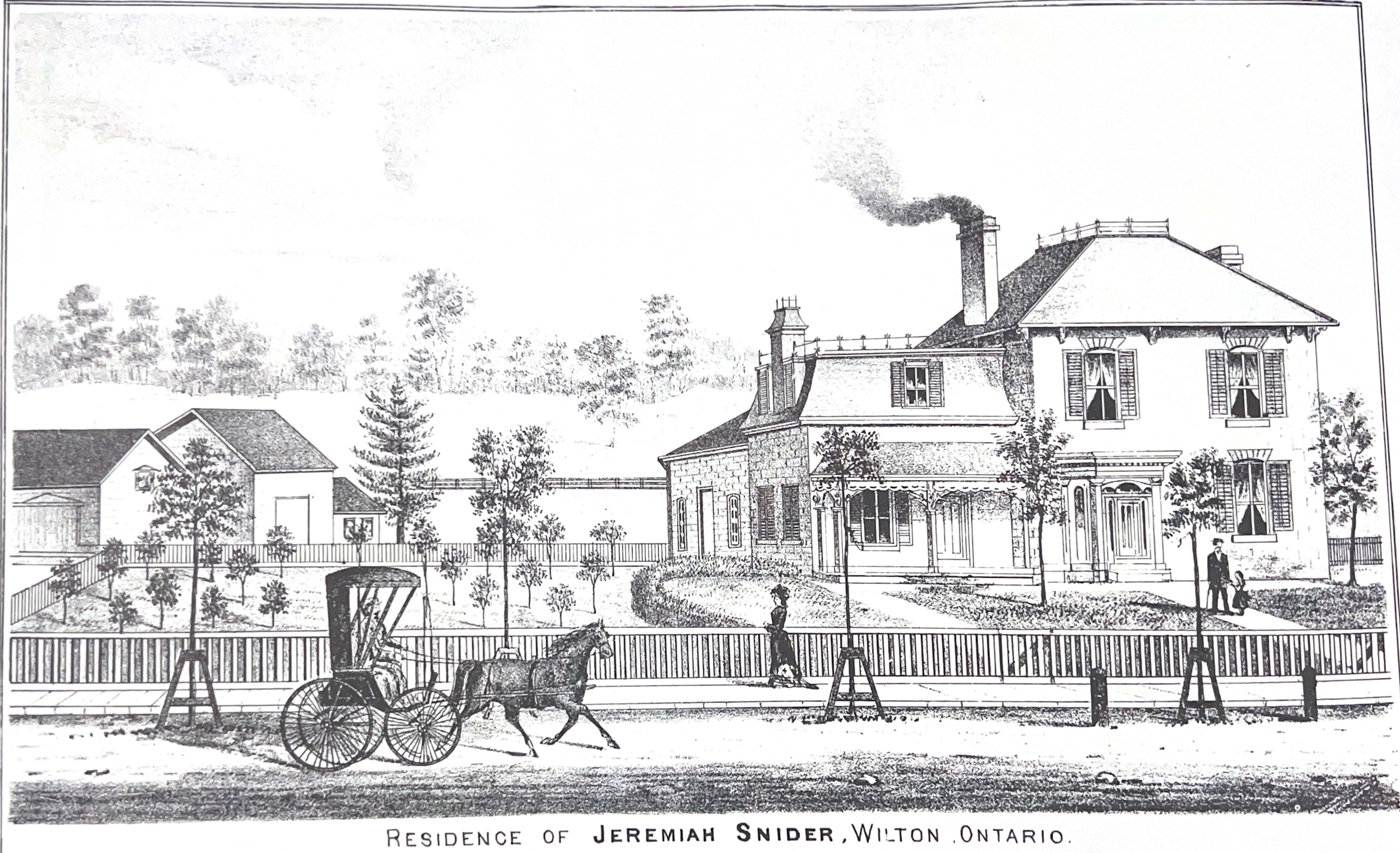
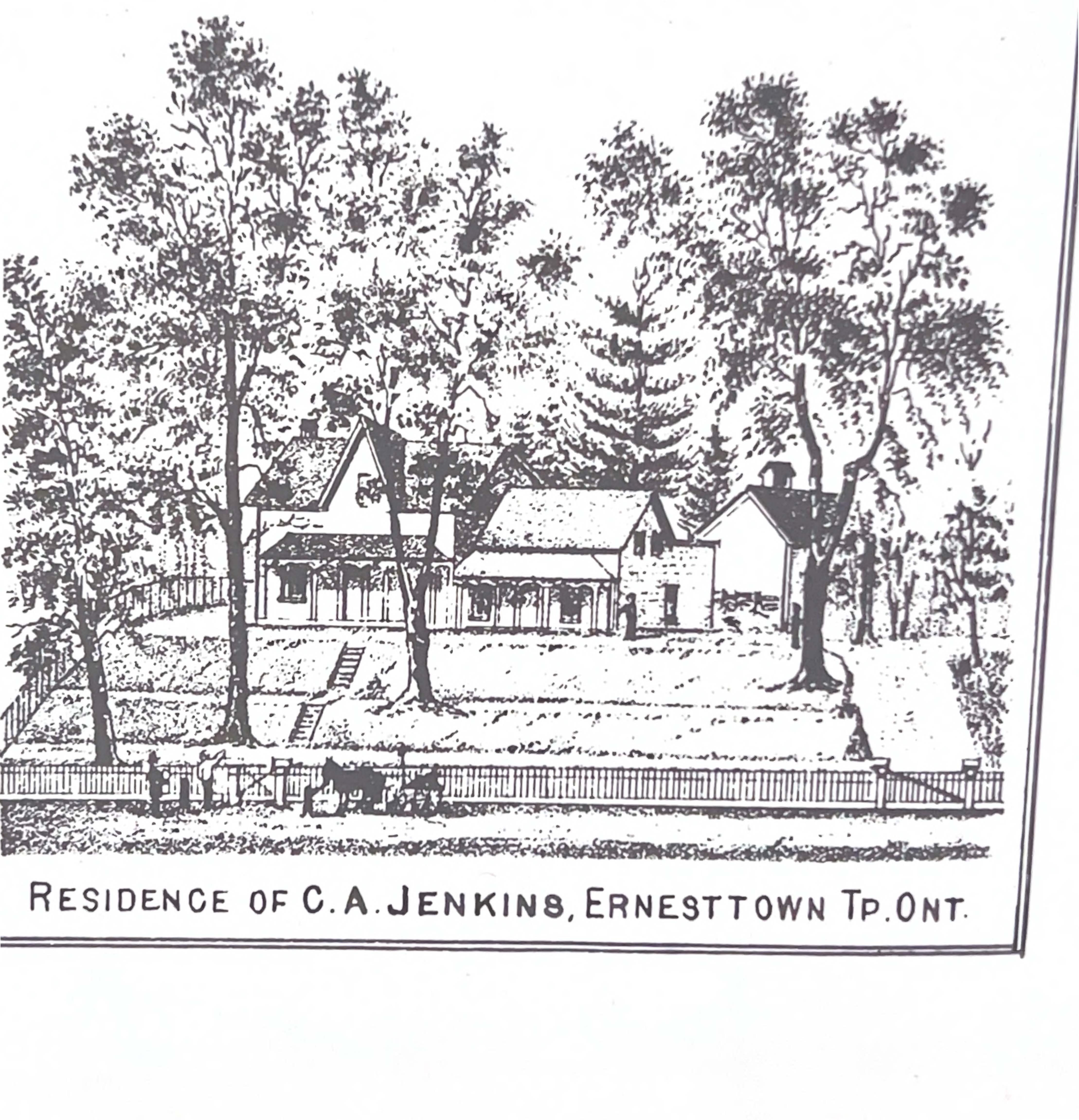
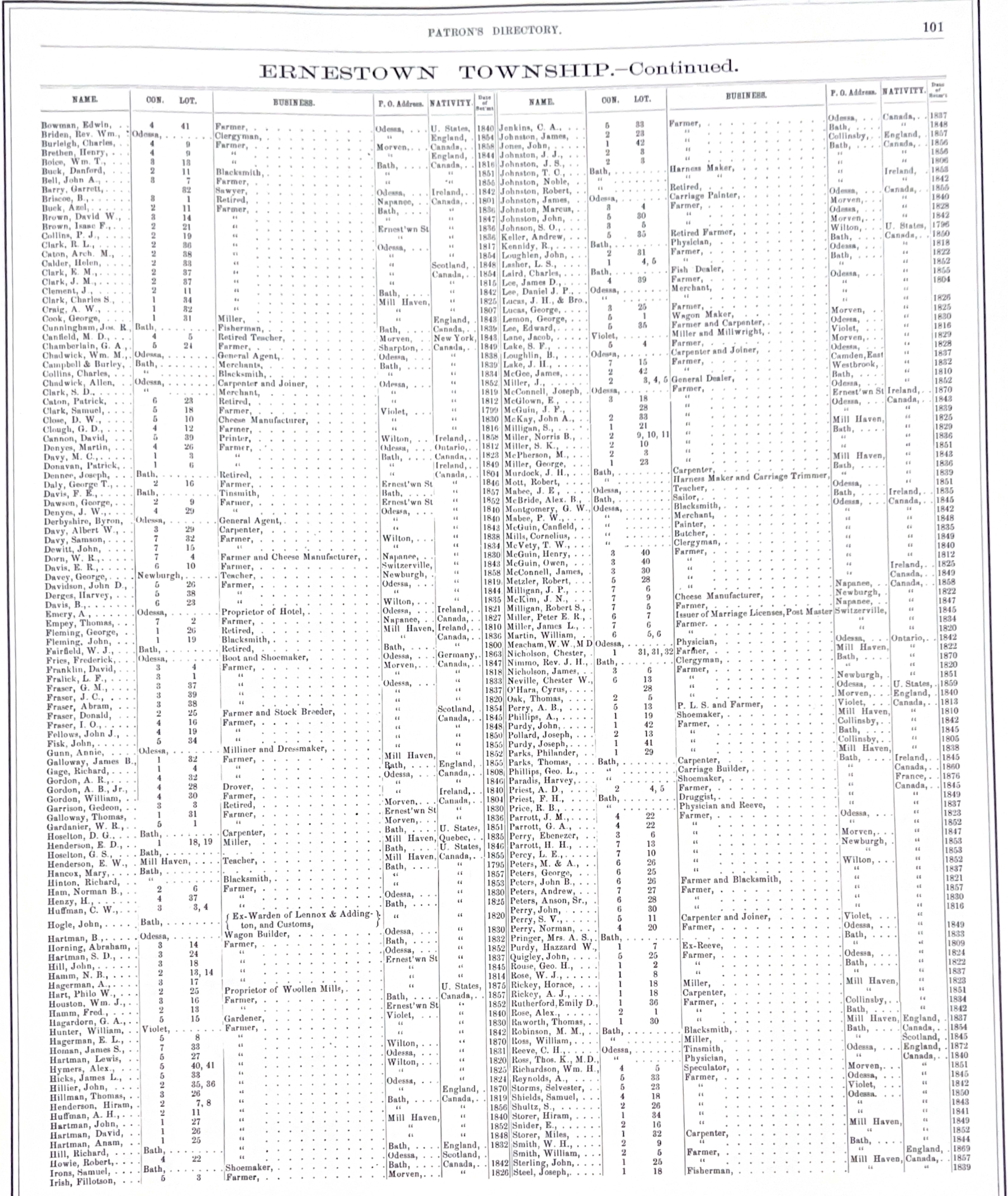
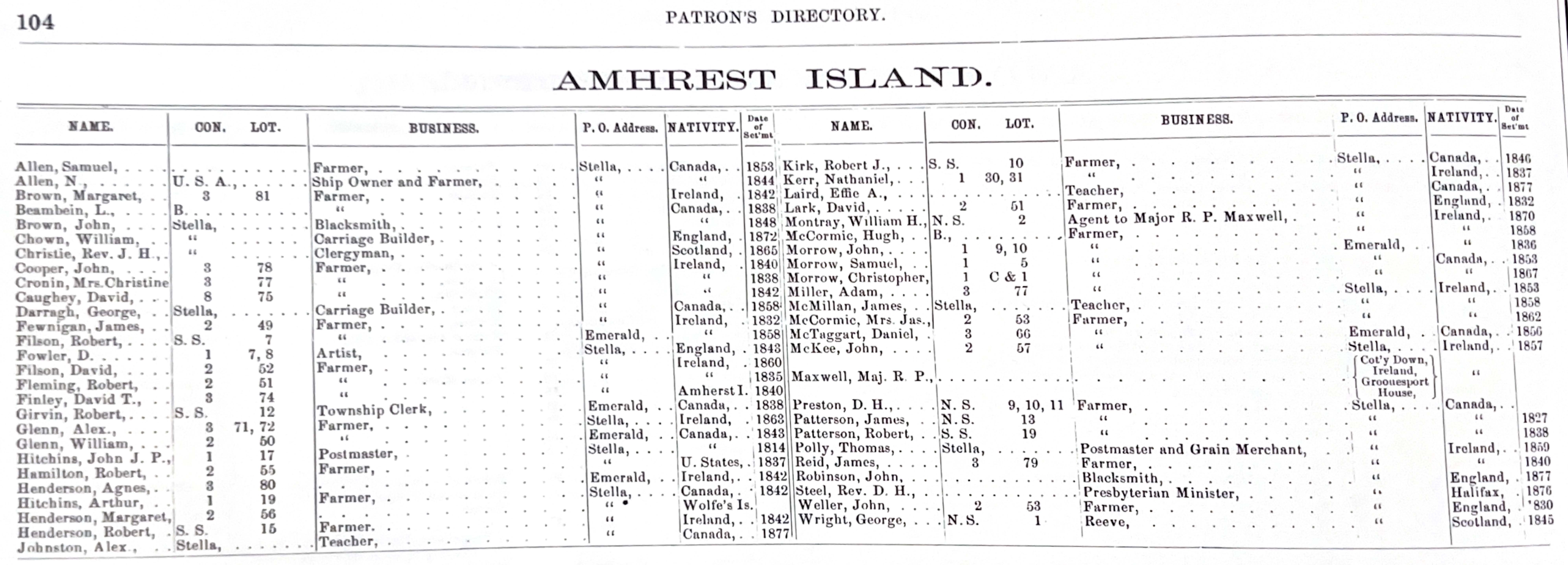
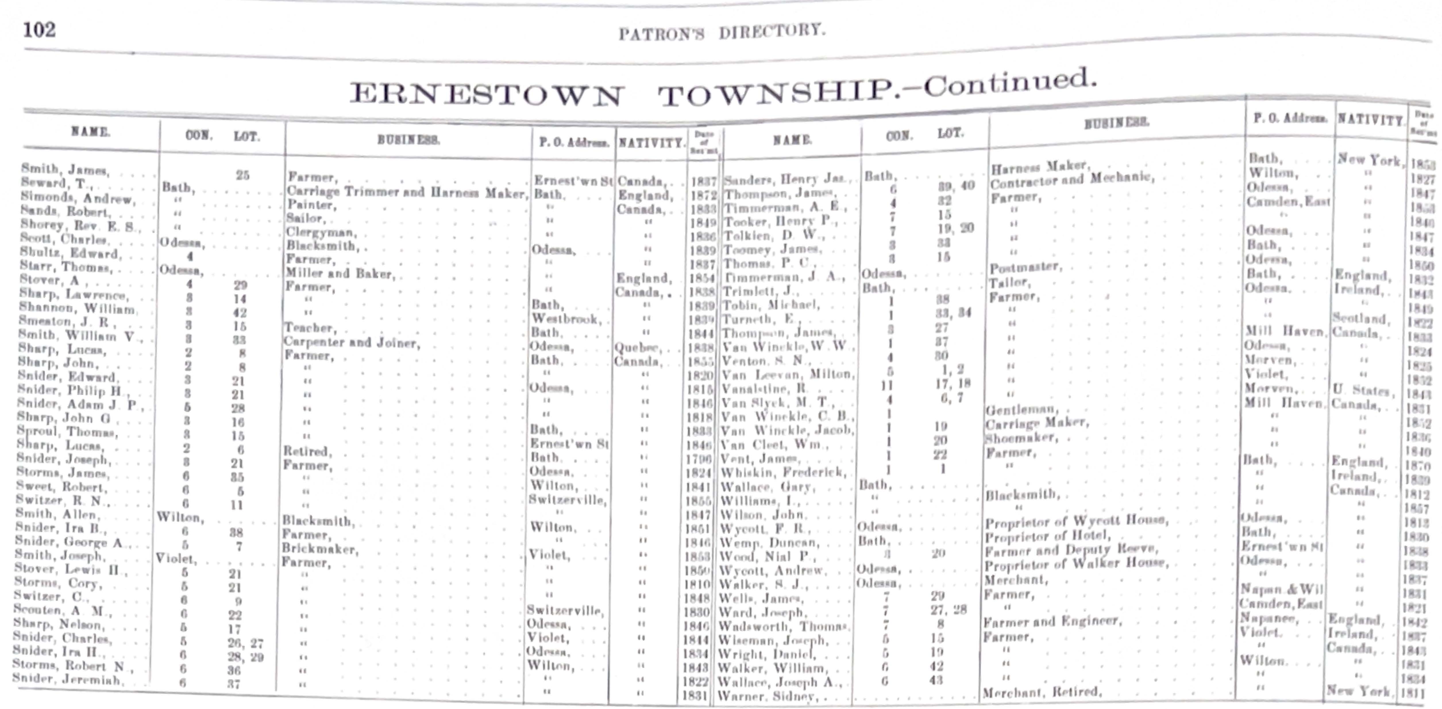
Samples from the Illustrated Historical Atlas of the Counties of Frontenac, Lennox and Addington Ontario, by J.H. Meacham & Co., 1878
Sign up to our Newsletter
Stay up to date on the Township's activities, events, programs and operations by subscribing to our eNewsletters.